EU agrees to delay release of Gulf satellite images following US request
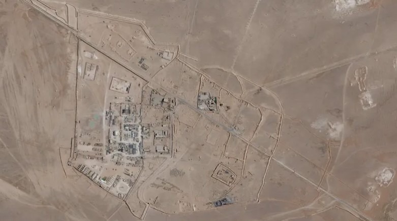
The European Union has agreed to a United States request to delay the public release of Copernicus satellite images covering the Gulf region by 24 hours, according to a decision published in the Official Journal of the European Union.
The decision comes about two weeks after the United States resumed military operations against Iran, amid renewed tensions between Washington and Tehran over the Strait of Hormuz.
According to the decision, US officials submitted the request to EU High Representative for Foreign Affairs and Security Policy Kaja Kallas on May 26, seeking a 24-hour delay in the publication of data collected by the Sentinel-1 and Sentinel-2 satellites over the Gulf region.
In its decision dated July 13, the Council of the European Union said the measure was considered necessary to ensure that the satellite imagery is not used “by any third party, whether state or non-state,” in a manner that could threaten the interests of the European Union, its member states, or their allies in the region.
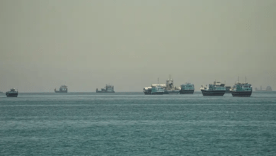
The area covered by the decision includes the Gulf, where military activity has intensified in recent weeks following renewed hostilities. The region has also remained at the center of tensions linked to maritime security and the strategic Strait of Hormuz.
The Copernicus program, operated by the European Union, provides Earth observation data through a network of Sentinel satellites for environmental monitoring, disaster response, maritime surveillance and other civilian applications.