


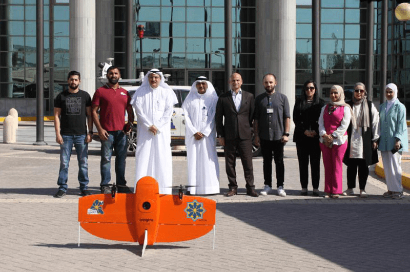
The Public Authority for Civil Information has launched the “High Resolution Imaging” (HRI) project through the use of drones, which provides comprehensive aerial images covering all regions of the country and serving the authority’s projects and other government agencies.
The Director-General of the authority, Musaed Al-Asousi, speaking to a local Arabic daily stressed on the importance of this project, which is an alternative to satellite images, which cost 120,000 Kuwaiti dinars annually (about $400,000), which is provided through the “Kuwait Finder” application, which is used by more than 2.2 million people.
Moreover, HRI will be a gateway to spatial information that connects more than 170 government institutions and the private sector companies.
He added that the project is also one of the complementary projects to the “Kuwait Finder” application, which was launched in 2013 to be the only application in the region that provides the service of inferring addresses and buildings accurately through the automatic number and address, while providing a peripheral view of roads and buildings.
Al-Asousi explained that the project complements the ground imaging of all Kuwait roads from the border to the border, which was completed without any cost and provided through the Kuwait Finder application in 2016 and 2022.
He pointed out that the project is being accomplished through the authority’s national energies, after they received field training for aerial photography, data processing and uploading to the authority’s systems.
He went on to say, 15 areas were filmed in the pilot launch of the project, and it is expected that the urban area will be filmed within six months, and then go to the border and desert areas, expressing his thanks to the authority’s personnel for the completion of such national projects.